|
search place name
|
||
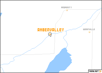
Amber Valley (Alberta, Canada)Amber Valley is a town in the Alberta region of Canada. An overview map of the region around Amber Valley is displayed below.
regional and 3d topo map of Amber Valley, Canada ::
Amber Valley airports ::
The nearest airport is YZH - Slave Lake, located 133.5 km north west of Amber Valley.
Other airports nearby include YXD - Edmonton City Centre (134.8 km south), YEG - Edmonton Intl (164.1 km south), YMM - Fort Mcmurray (239.2 km north east), Nearby towns ::
[all distances 'as the bird flies' and approximate] 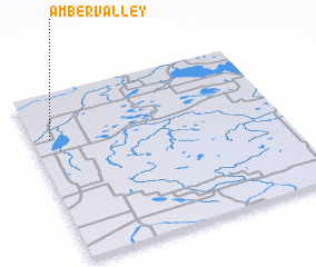 Places with similar names to Amber Valley, Canada ::
// Ambourville (FR)
// Aumerval (FR)
Disclaimer :: Information on this page comes without warranty of any kind |
||
|
Where is Amber Valley? Elevation and coordinates ::
Latitude (lat): 54°44'0"N Longitude (lon): 112°55'51"W
Elevation (approx.): 574m (map arrows pan, magnifying glasses zoom) |
||
|
Visiting Amber Valley? Hotel/Accommodation ::
Book a hotel in Amber Valley Travel Guide ::
Buy a travel guide for Canada rental cars ::
car rental offers GPS waypoint ::
download a GPX waypoint (PoI) of Amber Valley for your GPS receiver
|
||