|
search place name
|
||
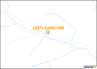
Castle Junction (Alberta, Canada)Castle Junction is a town in the Alberta region of Canada. An overview map of the region around Castle Junction is displayed below.
regional and 3d topo map of Castle Junction, Canada ::
Castle Junction airports ::
The nearest airport is YZS - Coral Harbour Fairmont Hot Springs, located 104.2 km south of Castle Junction.
Other airports nearby include YYC - Calgary Intl (133.7 km east), YRM - Rocky Mountain House (147.0 km north east), YXC - Cranbrook (184.4 km south), YCG - Castlegar (251.0 km south west), Nearby towns ::
[all distances 'as the bird flies' and approximate] 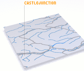 Places with similar names to Castle Junction, Canada ::
// Castle Junction (US)
Disclaimer :: Information on this page comes without warranty of any kind |
||
|
Where is Castle Junction? Elevation and coordinates ::
Latitude (lat): 51°16'0"N Longitude (lon): 115°55'0"W
Elevation (approx.): 1443m (map arrows pan, magnifying glasses zoom) |
||
|
Visiting Castle Junction? Hotel/Accommodation ::
Book a hotel in Castle Junction Travel Guide ::
Buy a travel guide for Canada rental cars ::
car rental offers GPS waypoint ::
download a GPX waypoint (PoI) of Castle Junction for your GPS receiver
|
||