|
search place name
|
||
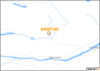
Pinantan (British Columbia, Canada)Pinantan is a town in the British Columbia region of Canada. An overview map of the region around Pinantan is displayed below.
regional and 3d topo map of Pinantan, Canada ::
Pinantan airports ::
The nearest airport is YKA - Kamloops, located 33.9 km west of Pinantan.
Other airports nearby include YLW - Kelowna (96.1 km south east), YYF - Penticton (143.7 km south), YDC - Princeton (146.0 km south), YCW - Chilliwack (225.7 km south west), Nearby towns ::
[all distances 'as the bird flies' and approximate] 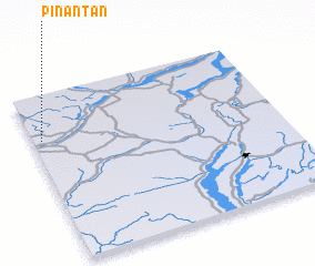
Disclaimer :: Information on this page comes without warranty of any kind |
||
|
Where is Pinantan? Elevation and coordinates ::
Latitude (lat): 50°44'0"N Longitude (lon): 119°58'0"W
Elevation (approx.): 1008m (map arrows pan, magnifying glasses zoom) |
||
|
Visiting Pinantan? Hotel/Accommodation ::
Book a hotel in Pinantan Travel Guide ::
Buy a travel guide for Canada rental cars ::
car rental offers GPS waypoint ::
download a GPX waypoint (PoI) of Pinantan for your GPS receiver
|
||