|
search place name
|
||
Port Moody (British Columbia, Canada)Port Moody is a town in the British Columbia region of Canada. An overview map of the region around Port Moody is displayed below.
regional and 3d topo map of Port Moody, Canada ::

Port Moody airports ::
The nearest airport is YVR - Vancouver Intl, located 26.3 km west of Port Moody.
Other airports nearby include YXX - Abbotsford (45.8 km south east), BLI - Bellingham Intl (59.1 km south east), YCW - Chilliwack (67.9 km east), YCD - Nanaimo (78.7 km west), Nearby towns ::
Ioco (2.2km north west) //
Port Coquitlam (5.2km east) //
Port Mann (7.8km south) //
New Westminster (8.9km south west) //
[all distances 'as the bird flies' and approximate] 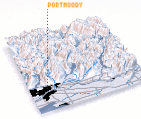 Places with similar names to Port Moody, Canada ::
// Perdumidi (HT)
// Pré dʼAmite (BE)
Disclaimer :: Information on this page comes without warranty of any kind |
||
|
Where is Port Moody? Elevation and coordinates ::
Latitude (lat): 49°17'0"N Longitude (lon): 122°51'0"W
Elevation (approx.): -32768m (map arrows pan, magnifying glasses zoom) |
||
|
Visiting Port Moody? Hotel/Accommodation ::
Book a hotel in Port Moody Travel Guide ::
Buy a travel guide for Canada rental cars ::
car rental offers GPS waypoint ::
download a GPX waypoint (PoI) of Port Moody for your GPS receiver
|
||