|
search place name
|
||
Wrentham (Alberta, Canada)Wrentham is a town in the Alberta region of Canada. An overview map of the region around Wrentham is displayed below.
regional and 3d topo map of Wrentham, Canada ::

Wrentham airports ::
The nearest airport is YQL - Lethbridge, located 46.3 km west of Wrentham.
Other airports nearby include CTB - Cutbank Cut Bank Muni (102.0 km south), YXH - Medicine Hat (119.2 km north east), YYC - Calgary Intl (220.6 km north west), Nearby towns ::
[all distances 'as the bird flies' and approximate] 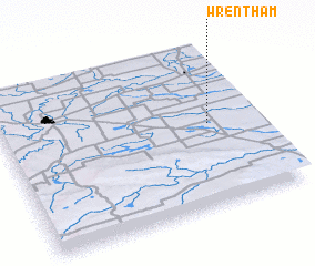
Disclaimer :: Information on this page comes without warranty of any kind |
||
|
Where is Wrentham? Elevation and coordinates ::
Latitude (lat): 49°31'0"N Longitude (lon): 112°11'0"W
Elevation (approx.): 947m (map arrows pan, magnifying glasses zoom) |
||
|
Visiting Wrentham? Hotel/Accommodation ::
Book a hotel in Wrentham Travel Guide ::
Buy a travel guide for Canada rental cars ::
car rental offers GPS waypoint ::
download a GPX waypoint (PoI) of Wrentham for your GPS receiver
|
||