|
search place name
|
||
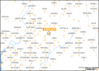
Beuase (Grand Bassa, Liberia)Beuase is a town in the Grand Bassa region of Liberia. An overview map of the region around Beuase is displayed below.
regional and 3d topo map of Beuase, Liberia ::
Beuase airports ::
The nearest airport is ROB - Monrovia Roberts Intl, located 75.2 km west of Beuase.
Other airports nearby include MLW - Monrovia Spriggs Payne (119.0 km west), Nearby towns ::
Kuewa (0.0km north) //
Carris (0.0km north) //
Yamabli (1.8km west) //
Francis Reevesbli (2.1km south west) //
Sawabli (2.6km north east) //
Jobli (2.6km south east) //
Kuiebli (2.6km south west) //
Damiibli (3.0km north east) //
Sia (3.7km north) //
Yukwebli (3.7km south) //
Dawabli (3.7km south) //
Gamobli (4.1km north east) //
Nyunomagabli (4.1km north east) //
Suobli (4.1km north east) //
Basome (4.1km north east) //
Dubabli (4.1km north west) //
Nipoabli (4.1km south east) //
Dobabli (4.1km north west) //
Frank Brown Town (4.1km south east) //
Nubli (4.4km west) //
Nugabli (4.6km north) //
Yammah Town (4.6km south west) //
Boingai (5.2km north east) //
Duwipa (5.2km north east) //
Kokwabli (5.2km south east) //
Siibli (5.2km north west) //
Mulabli (5.2km north west) //
Philip Robertsbli (5.2km south west) //
Bobuabli (5.3km east) //
[all distances 'as the bird flies' and approximate]  Places with similar names to Beuase, Liberia ::
Disclaimer :: Information on this page comes without warranty of any kind |
||
|
Where is Beuase? Elevation and coordinates ::
Latitude (lat): 6°16'0"N Longitude (lon): 9°41'0"W
Elevation (approx.): 160m (map arrows pan, magnifying glasses zoom) |
||
|
Visiting Beuase? Hotel/Accommodation ::
Book a hotel in Beuase Travel Guide ::
Buy a travel guide for Liberia rental cars ::
car rental offers GPS waypoint ::
download a GPX waypoint (PoI) of Beuase for your GPS receiver
|
||