|
search place name
|
||
Boi (Lofa, Liberia)Boi is a town in the Lofa region of Liberia. An overview map of the region around Boi is displayed below.
regional and 3d topo map of Boi, Liberia ::

Boi airports ::
The nearest airport is ROB - Monrovia Roberts Intl, located 203.6 km south west of Boi.
Other airports nearby include MLW - Monrovia Spriggs Payne (220.5 km south west), Nearby towns ::
Batagizi (2.5km south) //
Sablo (5.6km north east) //
Gizima-Ziema (5.8km north west) //
Zelemai (6.4km south) //
Zuwulo (7.6km east) //
Wulumuyiezu (8.0km south) //
Konia (8.0km north east) //
Woze (8.7km south east) //
Zelimai (8.8km east) //
Bodalu (10.2km south west) //
[all distances 'as the bird flies' and approximate] 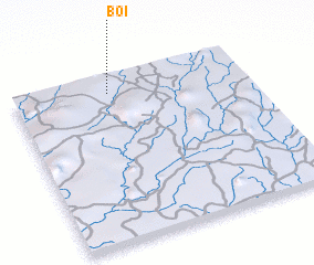 Places with similar names to Boi, Liberia ::
Disclaimer :: Information on this page comes without warranty of any kind |
||
|
Where is Boi? Elevation and coordinates ::
Latitude (lat): 7°54'18"N Longitude (lon): 9°35'22"W
Elevation (approx.): 485m (map arrows pan, magnifying glasses zoom) |
||
|
Visiting Boi? Hotel/Accommodation ::
Book a hotel in Boi Travel Guide ::
Buy a travel guide for Liberia rental cars ::
car rental offers GPS waypoint ::
download a GPX waypoint (PoI) of Boi for your GPS receiver
|
||