|
search place name
|
||
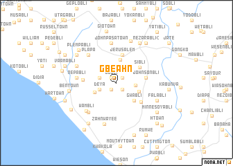
Gbeahn (Grand Bassa, Liberia)Gbeahn is a town in the Grand Bassa region of Liberia. An overview map of the region around Gbeahn is displayed below.
regional and 3d topo map of Gbeahn, Liberia ::
Gbeahn airports ::
The nearest airport is ROB - Monrovia Roberts Intl, located 88.5 km north west of Gbeahn.
Other airports nearby include MLW - Monrovia Spriggs Payne (127.9 km north west), Nearby towns ::
Jobli (1.2km north west) //
Foke (1.3km north east) //
Yakoi (1.3km south west) //
Bob Lee Town (1.4km south east) //
Goabli (2.8km west) //
Deya (2.9km west) //
Tewabli (3.1km east) //
Myer Town (3.8km north) //
Gweb Len (3.8km south west) //
Deeworh (3.9km east) //
Gwabli (4.0km south east) //
Sibli (4.5km north east) //
Jerusalem (4.6km north) //
Johnsonbli (4.7km east) //
Boabli (5.0km south east) //
Batiabli (5.5km west) //
Plapa (6.4km north west) //
John Pasa Town (6.5km north) //
Nepabli (6.4km west) //
Kaabli (6.6km south west) //
Wambli (6.6km south west) //
Zahnwayee (6.9km south) //
Molefabli (6.9km north west) //
Falabli (7.1km south east) //
Geeboer (7.2km north) //
Nezarabli (7.4km north east) //
Ben Town (7.7km west) //
Geebli (7.8km north west) //
Nezarabli (2) (7.9km north east) //
[all distances 'as the bird flies' and approximate] 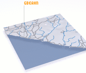 Places with similar names to Gbeahn, Liberia ::
Disclaimer :: Information on this page comes without warranty of any kind |
||
|
Where is Gbeahn? Elevation and coordinates ::
Latitude (lat): 5°42'33"N Longitude (lon): 9°45'32"W
Elevation (approx.): 39m (map arrows pan, magnifying glasses zoom) |
||
|
Visiting Gbeahn? Hotel/Accommodation ::
Book a hotel in Gbeahn Travel Guide ::
Buy a travel guide for Liberia rental cars ::
car rental offers GPS waypoint ::
download a GPX waypoint (PoI) of Gbeahn for your GPS receiver
|
||