|
search place name
|
||
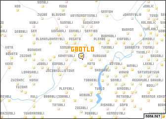
Gbotlo (Grand Bassa, Liberia)Gbotlo is a town in the Grand Bassa region of Liberia. An overview map of the region around Gbotlo is displayed below.
regional and 3d topo map of Gbotlo, Liberia ::
Gbotlo airports ::
The nearest airport is ROB - Monrovia Roberts Intl, located 53.0 km west of Gbotlo.
Other airports nearby include MLW - Monrovia Spriggs Payne (97.1 km west), Nearby towns ::
Matolo (1.5km south) //
Gaabli (1.8km east) //
Yuabli (1.9km north) //
Tuanbli (1.8km west) //
Paul Reevesbli (1.8km west) //
Mato (2.6km south east) //
Lemuel Reevesbli (2.6km north west) //
Botlu (3.2km north) //
Nuaduwa (3.7km east) //
Biokobli (3.7km east) //
Flombli (3.7km east) //
Kahnyubli (3.7km west) //
Jobli (3) (4.1km south west) //
Gomay Farm (4.1km north west) //
Pegata (4.1km north west) //
Gonubli (4.1km north west) //
Plembe (5.2km north east) //
Demeobli (5.2km north west) //
Shoigabli (5.5km south east) //
Kopabli (5.8km west) //
Sentibo (5.9km north) //
Tobaebli (5.9km south) //
Gwajabli (5.8km east) //
Gonibli (5.9km north) //
Luabli (5.8km east) //
Tukabli (5.8km east) //
Jacob Kollie Town (6.2km south west) //
Zuehzar Town (6.5km south east) //
Teepeney Town (6.5km west) //
[all distances 'as the bird flies' and approximate] 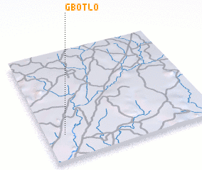 Places with similar names to Gbotlo, Liberia ::
Disclaimer :: Information on this page comes without warranty of any kind |
||
|
Where is Gbotlo? Elevation and coordinates ::
Latitude (lat): 6°14'0"N Longitude (lon): 9°53'0"W
Elevation (approx.): 121m (map arrows pan, magnifying glasses zoom) |
||
|
Visiting Gbotlo? Hotel/Accommodation ::
Book a hotel in Gbotlo Travel Guide ::
Buy a travel guide for Liberia rental cars ::
car rental offers GPS waypoint ::
download a GPX waypoint (PoI) of Gbotlo for your GPS receiver
|
||