|
search place name
|
||
Nema (Grand Bassa, Liberia)Nema is a town in the Grand Bassa region of Liberia. An overview map of the region around Nema is displayed below.
regional and 3d topo map of Nema, Liberia ::

Nema airports ::
The nearest airport is ROB - Monrovia Roberts Intl, located 57.6 km north west of Nema.
Other airports nearby include MLW - Monrovia Spriggs Payne (98.5 km north west), Nearby towns ::
Joe Gumry Town (0.0km north) //
Snaebu (0.0km north) //
Lakata (0.0km north) //
Duebli (0.0km north) //
Bensonville (1.8km west) //
Joe Canday (2.5km north east) //
Harlansville (2) (2.6km south west) //
Manga Bush Town (2.6km south east) //
Gboni (2.9km south) //
Harlansville (3.4km south east) //
Dobibli (3.7km east) //
Gogbehnbli (3.7km east) //
New Cess (2) (3.7km south) //
Diatro (3.7km south) //
Blodu (3.7km south) //
Tubmabli (3.7km east) //
Big Joe Town (3.8km south west) //
Charlie Wenbli (4.1km north west) //
Gponee (4.1km south east) //
Harlandsville (4.1km south west) //
Whehnzonbli (5.2km north east) //
Meu (5.2km north west) //
Barduah (5.4km south east) //
Baiduabli (5.5km east) //
Tobli (5.5km west) //
Goya (5.7km south) //
Mom Flehnbli (5.8km east) //
Somabli (5.9km north) //
Meunbli Number One (5.9km north) //
[all distances 'as the bird flies' and approximate] 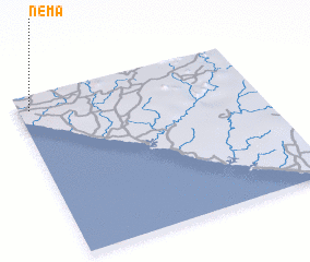 Places with similar names to Nema, Liberia ::
Disclaimer :: Information on this page comes without warranty of any kind |
||
|
Where is Nema? Elevation and coordinates ::
Latitude (lat): 5°55'0"N Longitude (lon): 9°57'0"W
Elevation (approx.): 34m (map arrows pan, magnifying glasses zoom) |
||
|
Visiting Nema? Hotel/Accommodation ::
Book a hotel in Nema Travel Guide ::
Buy a travel guide for Liberia rental cars ::
car rental offers GPS waypoint ::
download a GPX waypoint (PoI) of Nema for your GPS receiver
|
||