|
search place name
|
||
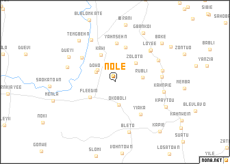
Nole (Nimba, Liberia)Nole is a town in the Nimba region of Liberia. An overview map of the region around Nole is displayed below.
regional and 3d topo map of Nole, Liberia ::
Nole airports ::
The nearest airport is MJC - Man, located 151.1 km east of Nole.
Other airports nearby include ROB - Monrovia Roberts Intl (176.7 km west), MLW - Monrovia Spriggs Payne (216.0 km west), Nearby towns ::
Garwonpa (3.4km north west) //
Dowo (3.4km north west) //
Oko Boli (3.8km south) //
Zolota (4.5km north east) //
Rubli (4.6km east) //
Fleedin (4.8km south west) //
Kawi (5.0km north west) //
Nyasin (5.9km north) //
Yahnsehn (6.4km north) //
Bampa (6.7km north west) //
Yiaka (6.8km south east) //
Bake (7.7km north east) //
Victor Marshall (7.6km east) //
Loyee (7.8km north east) //
Nyiayi (7.8km north west) //
Logle (7.9km north east) //
Wati (7.9km east) //
Buai (8.0km west) //
Kahnpie (8.1km east) //
Bleto (8.6km south) //
Dueyi (8.5km north west) //
Temgbehn (8.9km north west) //
Gbankoi (9.2km north east) //
Kpaytou (9.2km south east) //
Bake (9.9km north east) //
Kapie (10.8km south east) //
[all distances 'as the bird flies' and approximate] 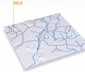 Places with similar names to Nole, Liberia ::
Disclaimer :: Information on this page comes without warranty of any kind |
||
|
Where is Nole? Elevation and coordinates ::
Latitude (lat): 6°50'34"N Longitude (lon): 8°53'8"W
Elevation (approx.): 231m (map arrows pan, magnifying glasses zoom) |
||
|
Visiting Nole? Hotel/Accommodation ::
Book a hotel in Nole Travel Guide ::
Buy a travel guide for Liberia rental cars ::
car rental offers GPS waypoint ::
download a GPX waypoint (PoI) of Nole for your GPS receiver
|
||