|
search place name
|
||
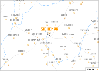
Siekempa (Nimba, Liberia)Siekempa is a town in the Nimba region of Liberia. An overview map of the region around Siekempa is displayed below.
regional and 3d topo map of Siekempa, Liberia ::
Siekempa airports ::
The nearest airport is MJC - Man, located 121.5 km east of Siekempa.
Other airports nearby include ROB - Monrovia Roberts Intl (224.4 km south west), Nearby towns ::
Sanniquellie (2.9km south west) //
Bopa (3.4km north west) //
Geh (4.0km north) //
Sanokwelle (4.0km south) //
Badio Town (4.5km west) //
Makato (4.7km north east) //
Sopeay (5.2km south) //
Blebe (6.0km east) //
Beyatle (6.2km south west) //
Mr. Kona Town (6.3km south west) //
Nakanto (7.6km south) //
Buapie (7.6km south east) //
Belekro (7.9km east) //
Davory (7.9km west) //
Soho (8.0km south) //
Baapie (8.5km south) //
Bobe (8.6km east) //
Zolowi (8.8km north east) //
Gawi (8.9km south west) //
Moho (10.4km south east) //
[all distances 'as the bird flies' and approximate] 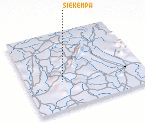 Places with similar names to Siekempa, Liberia ::
Disclaimer :: Information on this page comes without warranty of any kind |
||
|
Where is Siekempa? Elevation and coordinates ::
Latitude (lat): 7°22'28"N Longitude (lon): 8°40'59"W
Elevation (approx.): 429m (map arrows pan, magnifying glasses zoom) |
||
|
Visiting Siekempa? Hotel/Accommodation ::
Book a hotel in Siekempa Travel Guide ::
Buy a travel guide for Liberia rental cars ::
car rental offers GPS waypoint ::
download a GPX waypoint (PoI) of Siekempa for your GPS receiver
|
||