|
search place name
|
||
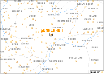
Sumalahun (Lofa, Liberia)Sumalahun is a town in the Lofa region of Liberia. An overview map of the region around Sumalahun is displayed below.
regional and 3d topo map of Sumalahun, Liberia ::
Sumalahun airports ::
The nearest airport is FAA - Faranah, located 201.8 km north of Sumalahun.
Nearby towns ::
Kambolahun (1.2km south east) //
Bakanda (2.3km north west) //
Balalahun (2.4km south) //
Taninahun (3.1km north east) //
Ngokohun (3.2km south west) //
Menditahun (3.7km south) //
Ngohokohun (3.7km west) //
Kabawana (4.1km south west) //
Wohalahun (4.1km south west) //
Tahemba (4.1km north west) //
Fasawolo (4.8km north) //
Fanhalahun (4.9km south east) //
Kolehewa (5.0km west) //
Kpandahewa (5.1km west) //
Kalepo (5.6km south) //
Manjotahun (5.9km west) //
Hengbelahun (6.4km north east) //
Botamba (6.3km west) //
Bololahun (6.5km north west) //
Honehun Number One (6.5km east) //
Hembehulahun (6.7km south west) //
Kambolahun (6.7km south west) //
Wombohewa (6.9km west) //
Bondolahun (7.0km north) //
Kolahun (7.3km south) //
Honehun Number Two (7.2km east) //
Sikamai (7.6km east) //
Dodo (7.9km north west) //
Wokoihun (8.1km south west) //
[all distances 'as the bird flies' and approximate] 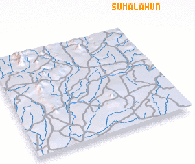 Places with similar names to Sumalahun, Liberia ::
Disclaimer :: Information on this page comes without warranty of any kind |
||
|
Where is Sumalahun? Elevation and coordinates ::
Latitude (lat): 8°21'0"N Longitude (lon): 10°4'0"W
Elevation (approx.): 492m (map arrows pan, magnifying glasses zoom) |
||
|
Visiting Sumalahun? Hotel/Accommodation ::
Book a hotel in Sumalahun Travel Guide ::
Buy a travel guide for Liberia rental cars ::
car rental offers GPS waypoint ::
download a GPX waypoint (PoI) of Sumalahun for your GPS receiver
|
||