|
search place name
|
||
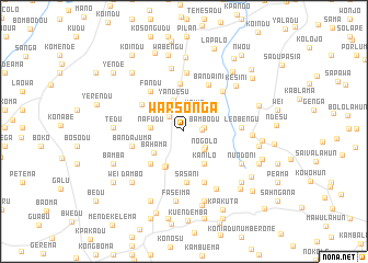
Warsonga (Lofa, Liberia)Warsonga is a town in the Lofa region of Liberia. An overview map of the region around Warsonga is displayed below.
regional and 3d topo map of Warsonga, Liberia ::
Warsonga airports ::
The nearest airport is FAA - Faranah, located 193.0 km north of Warsonga.
Nearby towns ::
Dehoma (1.8km east) //
Genga (2.1km north west) //
Bambodu (2.1km east) //
Woima (2.4km north east) //
Nongorchoe (2.7km south east) //
Nogolo (2.7km south east) //
Yandesu (3.3km north) //
Benkisi (3.4km west) //
Nafudu (3.4km west) //
Bahama (3.7km south west) //
Kanilo (3.9km south east) //
Kongbama (4.0km south west) //
Saabendu (4.1km south west) //
Kudu (4.8km south west) //
Sodu (4.9km north) //
Sandia (5.1km north west) //
Sasani (5.2km south) //
Fandu (5.3km north west) //
Bandaini (5.3km north east) //
Bandajuma (5.5km west) //
Bua (5.6km south) //
Felalo (5.6km south) //
Ngisakonia (5.7km north east) //
Leobengu (5.8km east) //
Gokuma (5.9km north) //
Kamapodu (6.6km north) //
Yakakpomo (6.7km south east) //
Nundoni (6.6km south east) //
Foya Kamara (6.9km east) //
[all distances 'as the bird flies' and approximate] 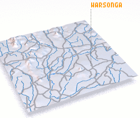 Places with similar names to Warsonga, Liberia ::
Disclaimer :: Information on this page comes without warranty of any kind |
||
|
Where is Warsonga? Elevation and coordinates ::
Latitude (lat): 8°21'48"N Longitude (lon): 10°16'8"W
Elevation (approx.): 456m (map arrows pan, magnifying glasses zoom) |
||
|
Visiting Warsonga? Hotel/Accommodation ::
Book a hotel in Warsonga Travel Guide ::
Buy a travel guide for Liberia rental cars ::
car rental offers GPS waypoint ::
download a GPX waypoint (PoI) of Warsonga for your GPS receiver
|
||