|
search place name
|
||
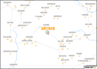
Wayake (Grand Gedeh, Liberia)Wayake is a town in the Grand Gedeh region of Liberia. An overview map of the region around Wayake is displayed below.
regional and 3d topo map of Wayake, Liberia ::
Wayake airports ::
The nearest airport is SPY - San Pedro, located 125.0 km east of Wayake.
Other airports nearby include DJO - Daloa (259.2 km north east), Nearby towns ::
Tienbo (3.0km north) //
Kalbuke (4.4km north west) //
Chalke (5.8km south west) //
Bayake (5.8km east) //
Kiliso (5.9km south east) //
Gbawake (6.5km south west) //
Kawalake (6.7km south east) //
Karbuken (6.7km north) //
Waroaka (7.1km north east) //
Tyiaken (7.2km north west) //
Sekeleke (7.2km south west) //
Yuduyake (7.6km east) //
Konosu (7.6km west) //
Kaloken (7.7km south east) //
Kargbo (7.8km north) //
Tisoke (7.8km south east) //
Suwasu (8.8km south east) //
Gropluken (8.9km west) //
Wissikan (9.0km north west) //
Konoso (9.2km south east) //
[all distances 'as the bird flies' and approximate] 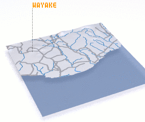 Places with similar names to Wayake, Liberia ::
Disclaimer :: Information on this page comes without warranty of any kind |
||
|
Where is Wayake? Elevation and coordinates ::
Latitude (lat): 4°51'0"N Longitude (lon): 7°47'0"W
Elevation (approx.): 86m (map arrows pan, magnifying glasses zoom) |
||
|
Visiting Wayake? Hotel/Accommodation ::
Book a hotel in Wayake Travel Guide ::
Buy a travel guide for Liberia rental cars ::
car rental offers GPS waypoint ::
download a GPX waypoint (PoI) of Wayake for your GPS receiver
|
||