|
search place name
|
||
Podveža (Cankova-Tišina, Slovenia)Podveža is a town in the Cankova-Tišina region of Slovenia. An overview map of the region around Podveža is displayed below.
regional and 3d topo map of Podveža, Slovenia ::

Podveža airports ::
The nearest airport is LJU - Ljubliana Ljubljana, located 25.5 km south west of Podveža.
Other airports nearby include KLU - Klagenfurt (Worthersee Intl) (44.5 km north west), MBX - Maribor (74.7 km east), GRZ - Graz (89.4 km north east), TRS - Ronchi De Legionari Ronchi Dei Legionari (113.5 km south west), Nearby towns ::
Luče (1.2km north east) //
Krnica (1.3km east) //
Raduha (2.3km north east) //
Podvolovljek (6.1km south west) //
Strmec (6.1km north east) //
Lenart pri Gorenjem Gradu (6.8km south east) //
Šmiklavž (7.8km south) //
Solčava (8.3km north) //
Konjski Vrh (7.6km north east) //
Gornji Grad (8.4km south east) //
[all distances 'as the bird flies' and approximate] 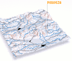 Places with similar names to Podveža, Slovenia ::
Disclaimer :: Information on this page comes without warranty of any kind |
||
|
Where is Podveža? Elevation and coordinates ::
Latitude (lat): 46°21'0"N Longitude (lon): 14°44'0"E
Elevation (approx.): 552m (map arrows pan, magnifying glasses zoom) |
||
|
Visiting Podveža? Hotel/Accommodation ::
Book a hotel in Podveža Travel Guide ::
Buy a travel guide for Slovenia rental cars ::
car rental offers GPS waypoint ::
download a GPX waypoint (PoI) of Podveža for your GPS receiver
|
||