|
search place name
|
||
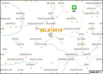
Bélatanya (Slovakia)Bélatanya is a town in Slovakia. An overview map of the region around Bélatanya is displayed below.
regional and 3d topo map of Bélatanya, Slovakia ::
Bélatanya airports ::
The nearest airport is KSC - Kosice, located 12.0 km north east of Bélatanya.
Other airports nearby include TAT - Poprad Tatry (88.3 km north west), DEB - Debrecen (124.4 km south), SUJ - Satu Mare (160.0 km south east), OMR - Oradea (180.0 km south), Nearby towns ::
Gombospuszta (1.2km east) //
Veľká Ida (3.7km north) //
Perín (3.1km south east) //
Komárovce (3.1km north west) //
Vyšný Lánec (4.4km south west) //
Nižný Lánec (4.1km south west) //
Františkov Dvor (5.7km north) //
Rudolfove Lazy (5.2km north west) //
Cestice (5.2km north west) //
Šaca (7.4km north) //
Buzinka (7.5km north) //
Lánciovský Dvor (5.2km east) //
Sokoľany (7.4km north east) //
Jakabháza (8.9km north east) //
Hidasnémeti (8.9km south east) //
[all distances 'as the bird flies' and approximate] 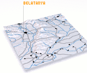 Places with similar names to Bélatanya, Slovakia ::
Disclaimer :: Information on this page comes without warranty of any kind |
||
|
Where is Bélatanya? Elevation and coordinates ::
Latitude (lat): 48°34'0"N Longitude (lon): 21°10'0"E
Elevation (approx.): 198m (map arrows pan, magnifying glasses zoom) |
||
|
Visiting Bélatanya? Hotel/Accommodation ::
Book a hotel in Bélatanya Travel Guide ::
Buy a travel guide for Slovakia rental cars ::
car rental offers GPS waypoint ::
download a GPX waypoint (PoI) of Bélatanya for your GPS receiver
|
||