|
search place name
|
||
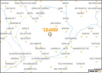
Cejkov (Slovakia)Cejkov is a town in Slovakia. An overview map of the region around Cejkov is displayed below.
regional and 3d topo map of Cejkov, Slovakia ::
Cejkov airports ::
The nearest airport is KSC - Kosice, located 44.5 km north west of Cejkov.
Other airports nearby include DEB - Debrecen (109.3 km south), SUJ - Satu Mare (119.0 km south east), TAT - Poprad Tatry (130.9 km north west), BAY - Baia Mare Tautii Magheraus (155.5 km south east), Nearby towns ::
Kašov (2.2km north west) //
Jastrabie (3.9km north) //
Černochov (4.4km south west) //
Ladmovce (5.7km south) //
Brehov (4.1km north east) //
Veľká Bara (5.2km south west) //
Malá Bara (6.1km south west) //
Zemplín (5.2km south east) //
Svätá Mária (5.3km east) //
Viničky (7.5km south) //
Nová Vieska pri Bodrogu (6.7km south east) //
Vécs (6.7km south east) //
Kysta (6.7km north west) //
Sirník (6.7km north east) //
Pavlovo (6.2km south east) //
Novosad (7.8km north) //
Somotor (8.3km south east) //
Hrčeľ (8.9km north west) //
[all distances 'as the bird flies' and approximate] 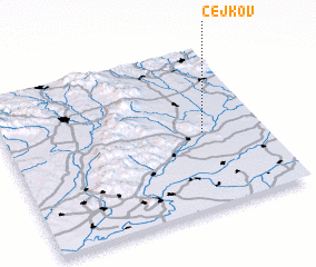 Places with similar names to Cejkov, Slovakia ::
Disclaimer :: Information on this page comes without warranty of any kind |
||
|
Where is Cejkov? Elevation and coordinates ::
Latitude (lat): 48°28'0"N Longitude (lon): 21°46'0"E
Elevation (approx.): 175m (map arrows pan, magnifying glasses zoom) |
||
|
Visiting Cejkov? Hotel/Accommodation ::
Book a hotel in Cejkov Travel Guide ::
Buy a travel guide for Slovakia rental cars ::
car rental offers GPS waypoint ::
download a GPX waypoint (PoI) of Cejkov for your GPS receiver
|
||