|
search place name
|
||
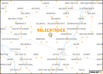
Malé Chyndice (Slovakia)Malé Chyndice is a town in Slovakia. An overview map of the region around Malé Chyndice is displayed below.
regional and 3d topo map of Malé Chyndice, Slovakia ::
Malé Chyndice airports ::
The nearest airport is PZY - Piestany, located 49.4 km north west of Malé Chyndice.
Other airports nearby include SLD - Sliac (73.3 km north east), BTS - Bratislava M R Stefanik (80.8 km west), BUD - Budapest Ferihegy (120.4 km south east), VIE - Vienna Schwechat (129.1 km west), Nearby towns ::
Klasov (2.2km south west) //
Veľké Chyndice (2.2km south east) //
Malé Chrašťany (2.2km north east) //
Babindol (3.1km south west) //
Veľké Chrašťany (3.9km north) //
Čeľadice (4.5km north west) //
Mikova Ves (3.7km east) //
Nová Ves nad Žitavou (4.1km south east) //
Slepčany (4.1km north east) //
Beladice (5.7km north) //
Vráble (6.1km south east) //
Horný Ohaj (6.1km south east) //
Neverice (7.4km north) //
Dolné Obdokovce (5.3km west) //
Dyčka (7.5km south) //
Hosťová (6.2km north west) //
Bucsi Majer (7.8km south) //
Paňa (8.3km south west) //
Choča (8.3km north east) //
[all distances 'as the bird flies' and approximate] 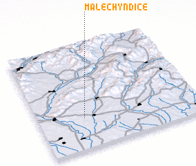 Places with similar names to Malé Chyndice, Slovakia :: Disclaimer :: Information on this page comes without warranty of any kind |
||
|
Where is Malé Chyndice? Elevation and coordinates ::
Latitude (lat): 48°18'0"N Longitude (lon): 18°17'0"E
Elevation (approx.): 182m (map arrows pan, magnifying glasses zoom) |
||
|
Visiting Malé Chyndice? Hotel/Accommodation ::
Book a hotel in Malé Chyndice Travel Guide ::
Buy a travel guide for Slovakia rental cars ::
car rental offers GPS waypoint ::
download a GPX waypoint (PoI) of Malé Chyndice for your GPS receiver
|
||