|
search place name
|
||
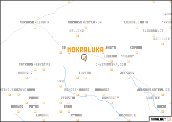
Mokrá Lúka (Slovakia)Mokrá Lúka is a town in Slovakia. An overview map of the region around Mokrá Lúka is displayed below.
regional and 3d topo map of Mokrá Lúka, Slovakia ::
Mokrá Lúka airports ::
The nearest airport is TAT - Poprad Tatry, located 45.7 km north of Mokrá Lúka.
Other airports nearby include SLD - Sliac (74.9 km west), KSC - Kosice (80.4 km east), BUD - Budapest Ferihegy (152.1 km south west), KRK - Krakow Balice (159.2 km north), Nearby towns ::
Turčok (3.7km south) //
Revúca (3.1km north west) //
Revúcka Lehota (3.1km north east) //
Sircký Železník (3.9km south) //
Chyžné (3.7km east) //
Lubeník (3.7km east) //
Kúpeľ (4.1km north west) //
Revúčka (5.7km north) //
Chyžnianská Voda (4.1km south east) //
Muránska Zdychava (7.4km north) //
Rákoš (7.4km south) //
Rákošská Baňa (7.5km south) //
Ploské (6.7km south west) //
Sirk (6.7km south west) //
Nandraž (7.8km south) //
Muránska Dlhá Lúka (7.4km north west) //
[all distances 'as the bird flies' and approximate] 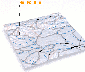 Places with similar names to Mokrá Lúka, Slovakia ::
// Mikroulaíika (GR)
// Mokri Lug (BA)
// Mokri Lug (BA)
// Mokryy Log (RU)
// Mokryy Lug (KZ)
// Mokri Lug (CS)
// Magorlec (FR)
Disclaimer :: Information on this page comes without warranty of any kind |
||
|
Where is Mokrá Lúka? Elevation and coordinates ::
Latitude (lat): 48°40'0"N Longitude (lon): 20°9'0"E
Elevation (approx.): 336m (map arrows pan, magnifying glasses zoom) |
||
|
Visiting Mokrá Lúka? Hotel/Accommodation ::
Book a hotel in Mokrá Lúka Travel Guide ::
Buy a travel guide for Slovakia rental cars ::
car rental offers GPS waypoint ::
download a GPX waypoint (PoI) of Mokrá Lúka for your GPS receiver
|
||