|
search place name
|
||
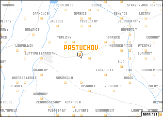
Pastuchov (Slovakia)Pastuchov is a town in Slovakia. An overview map of the region around Pastuchov is displayed below.
regional and 3d topo map of Pastuchov, Slovakia ::
Pastuchov airports ::
The nearest airport is PZY - Piestany, located 21.7 km north of Pastuchov.
Other airports nearby include BTS - Bratislava M R Stefanik (57.7 km south west), SLD - Sliac (95.1 km east), VIE - Vienna Schwechat (103.9 km west), PRV - Prerov (115.8 km north), Nearby towns ::
Dolné Trhovište (1.2km east) //
Jelenová (1.9km north) //
Horné Trhovište (3.9km north) //
Tepličky (4.4km north west) //
Kľačany (5.6km south) //
Lukáčovce (5.2km south east) //
Deč (6.1km south west) //
Sasinkovo (6.1km south west) //
Dolné Otrokovce (5.2km north east) //
Horné Otrokovce (7.4km north) //
Horné Rišňovce (7.5km south) //
Dolné Rišňovce (7.5km south) //
Rišňovce (7.5km south) //
Orešany (7.5km north) //
Tekolďany (7.5km north) //
Koplotovce (6.2km north west) //
Merašice (6.2km north east) //
Jalšové (8.3km north west) //
Alekšince (8.9km south east) //
[all distances 'as the bird flies' and approximate] 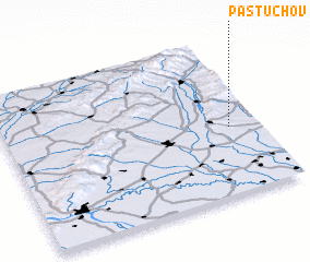 Places with similar names to Pastuchov, Slovakia ::
// Pozděchov (CZ)
// Pozdyshevo (RU)
Disclaimer :: Information on this page comes without warranty of any kind |
||
|
Where is Pastuchov? Elevation and coordinates ::
Latitude (lat): 48°26'0"N Longitude (lon): 17°53'0"E
Elevation (approx.): 228m (map arrows pan, magnifying glasses zoom) |
||
|
Visiting Pastuchov? Hotel/Accommodation ::
Book a hotel in Pastuchov Travel Guide ::
Buy a travel guide for Slovakia rental cars ::
car rental offers GPS waypoint ::
download a GPX waypoint (PoI) of Pastuchov for your GPS receiver
|
||