|
search place name
|
||
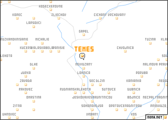
Temeš (Slovakia)Temeš is a town in Slovakia. An overview map of the region around Temeš is displayed below.
regional and 3d topo map of Temeš, Slovakia ::
Temeš airports ::
The nearest airport is SLD - Sliac, located 54.2 km south east of Temeš.
Other airports nearby include PZY - Piestany (55.1 km south west), OSR - Ostrava Mosnov (96.2 km north), PRV - Prerov (100.3 km north west), BTS - Bratislava M R Stefanik (121.7 km south west), Nearby towns ::
Čavoj (1.9km north) //
Nevidzany (1.9km south) //
Hostínec Klin (2.2km north west) //
Biela Voda (2.2km north east) //
Dobročná (3.7km south) //
Lomnica (3.7km south) //
Gápel (5.6km north) //
Liešťany (5.6km south) //
Pánisie (4.1km north west) //
Seč (5.7km south) //
Dlžín (6.1km south east) //
Nitrianske Rudno (7.4km south) //
Štrbkovci (5.2km west) //
Rudnianska Lehota (7.5km south) //
Kostolná Ves (7.5km south) //
Šutovce (8.3km south east) //
[all distances 'as the bird flies' and approximate] 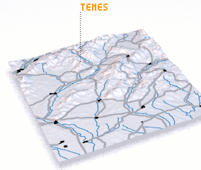 Places with similar names to Temeš, Slovakia ::
Disclaimer :: Information on this page comes without warranty of any kind |
||
|
Where is Temeš? Elevation and coordinates ::
Latitude (lat): 48°52'0"N Longitude (lon): 18°29'0"E
Elevation (approx.): 628m (map arrows pan, magnifying glasses zoom) |
||
|
Visiting Temeš? Hotel/Accommodation ::
Book a hotel in Temeš Travel Guide ::
Buy a travel guide for Slovakia rental cars ::
car rental offers GPS waypoint ::
download a GPX waypoint (PoI) of Temeš for your GPS receiver
|
||