|
search place name
|
||
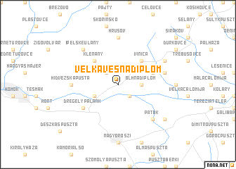
Veľká Ves nad Ipľom (Slovakia)Veľká Ves nad Ipľom is a town in Slovakia. An overview map of the region around Veľká Ves nad Ipľom is displayed below.
regional and 3d topo map of Veľká Ves nad Ipľom, Slovakia ::
Veľká Ves nad Ipľom airports ::
The nearest airport is SLD - Sliac, located 61.7 km north of Veľká Ves nad Ipľom.
Other airports nearby include BUD - Budapest Ferihegy (72.8 km south), PZY - Piestany (111.9 km north west), TAT - Poprad Tatry (138.6 km north east), BTS - Bratislava M R Stefanik (140.8 km west), Nearby towns ::
Ipolyvece (2.2km south east) //
Sečianky (2.2km north west) //
Blh nad Ipľom (2.5km east) //
Ipeľské Predmostie (3.1km south west) //
Vinica (4.5km north east) //
Kleňany (4.5km north west) //
Dvor Jozef (4.2km north east) //
Drégelypalánk (5.2km south west) //
Hrušov (7.4km north) //
Hidvéžská Pusta (5.0km west) //
Dolinka (5.3km east) //
Patak (6.7km south east) //
Ipeľské Úľany (6.7km north west) //
Leklinec (6.2km north east) //
Dejtár (7.4km south east) //
[all distances 'as the bird flies' and approximate] 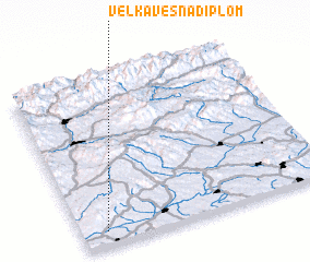 Places with similar names to Veľká Ves nad Ipľom, Slovakia :: Disclaimer :: Information on this page comes without warranty of any kind |
||
|
Where is Veľká Ves nad Ipľom? Elevation and coordinates ::
Latitude (lat): 48°5'0"N Longitude (lon): 19°6'0"E
Elevation (approx.): 128m (map arrows pan, magnifying glasses zoom) |
||
|
Visiting Veľká Ves nad Ipľom? Hotel/Accommodation ::
Book a hotel in Veľká Ves nad Ipľom Travel Guide ::
Buy a travel guide for Slovakia rental cars ::
car rental offers GPS waypoint ::
download a GPX waypoint (PoI) of Veľká Ves nad Ipľom for your GPS receiver
|
||