|
search place name
|
||
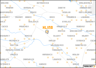
Hlína (Czech Republic)Hlína is a town in Czech Republic. An overview map of the region around Hlína is displayed below.
regional and 3d topo map of Hlína, Czech Republic ::
Hlína airports ::
The nearest airport is BRQ - Turany, located 19.4 km east of Hlína.
Other airports nearby include PRV - Prerov (78.6 km north east), PED - Pardubice (111.7 km north west), VIE - Vienna Schwechat (112.4 km south), PZY - Piestany (116.0 km south east), Nearby towns ::
Silŭvky (3.1km south east) //
Karlov (3.9km south) //
Moravské Bránice (3.9km south) //
Prštice (3.6km east) //
Radostice (4.1km north east) //
Omice (5.7km north) //
Ivančice (4.1km south west) //
Nové Bránice (5.7km south) //
Kratochvilka (5.2km north west) //
Neslovice (5.2km north west) //
Dolní Kounice (6.1km south east) //
Němčice (5.2km west) //
Tetčice (6.6km north west) //
Střelice (6.1km north east) //
Trboušany (7.8km south) //
Rosice (8.3km north west) //
Popŭvky (8.3km north east) //
Pendrov (8.3km north west) //
Babice (7.4km north west) //
Mělčany (7.4km south east) //
Pravlov (8.3km south east) //
Veselka (8.9km north east) //
Kupařovice (8.9km south east) //
Němčičky (8.9km south east) //
[all distances 'as the bird flies' and approximate] 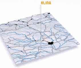 Places with similar names to Hlína, Czech Republic ::
Disclaimer :: Information on this page comes without warranty of any kind |
||
|
Where is Hlína? Elevation and coordinates ::
Latitude (lat): 49°7'0"N Longitude (lon): 16°26'0"E
Elevation (approx.): 433m (map arrows pan, magnifying glasses zoom) |
||
|
Visiting Hlína? Hotel/Accommodation ::
Book a hotel in Hlína Travel Guide ::
rental cars ::
car rental offers GPS waypoint ::
download a GPX waypoint (PoI) of Hlína for your GPS receiver
|
||