|
search place name
|
||
Hvězdov (Czech Republic)Hvězdov is a town in Czech Republic. An overview map of the region around Hvězdov is displayed below.
regional and 3d topo map of Hvězdov, Czech Republic ::

Hvězdov airports ::
The nearest airport is BBJ - Bautzen, located 65.0 km north of Hvězdov.
Other airports nearby include PRG - Prague Ruzyne (70.0 km south west), DRS - Dresden (90.6 km north west), PED - Pardubice (96.9 km south east), KLV - Karlovy Vary (141.1 km west), Nearby towns ::
Ploužnice (2.4km west) //
Vranov (4.4km north west) //
Dolní Okna (4.0km south east) //
Mimoň (4.0km north west) //
Noviny pod Ralskem (6.0km north west) //
Kuřívody (6.0km south east) //
Svébořice (5.1km north east) //
U Nového Mostu (4.7km west) //
Boreček (4.7km west) //
Okna (5.1km east) //
Stráž pod Ralskem (7.5km north) //
Horní Krupá (6.6km south east) //
Jezová (7.8km south) //
Židlov (6.0km south east) //
Nový Luhov (7.8km north) //
Pertoltice pod Ralskem (7.3km north west) //
Hamr (8.2km north east) //
Velký Grunov (8.8km north west) //
[all distances 'as the bird flies' and approximate] 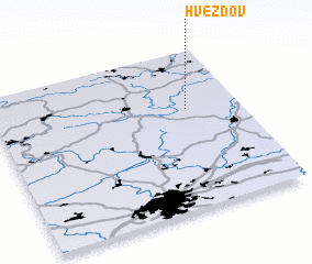 Places with similar names to Hvězdov, Czech Republic ::
Disclaimer :: Information on this page comes without warranty of any kind |
||
|
Where is Hvězdov? Elevation and coordinates ::
Latitude (lat): 50°38'0"N Longitude (lon): 14°47'0"E
Elevation (approx.): 287m (map arrows pan, magnifying glasses zoom) |
||
|
Visiting Hvězdov? Hotel/Accommodation ::
Book a hotel in Hvězdov Travel Guide ::
rental cars ::
car rental offers GPS waypoint ::
download a GPX waypoint (PoI) of Hvězdov for your GPS receiver
|
||