|
search place name
|
||
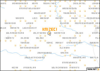
Knížecí (Czech Republic)Knížecí is a town in Czech Republic. An overview map of the region around Knížecí is displayed below.
regional and 3d topo map of Knížecí, Czech Republic ::
Knížecí airports ::
The nearest airport is BBJ - Bautzen, located 24.5 km north of Knížecí.
Other airports nearby include DRS - Dresden (48.5 km west), PRG - Prague Ruzyne (98.8 km south), AOC - Altenburg Nobitz (134.1 km west), KLV - Karlovy Vary (137.3 km south west), Nearby towns ::
Janovka (1.2km west) //
Maly Šenov (1.2km west) //
Císařský (2.2km north east) //
Staré Hraběcí (2.2km south west) //
Kopec (3.7km south) //
Kunratice (2.3km east) //
Velký Šenov (2.3km west) //
Leopoldka (2.3km west) //
Salmov (3.0km south west) //
Brtníky (4.4km south east) //
Panský (4.4km south east) //
Nové Hraběcí (4.4km north east) //
Auf der Wiese (5.7km north) //
Oberhof (5.7km north) //
Neudorf (5.7km north) //
Mikulášovice (5.1km south west) //
Am Hohberg (6.0km north east) //
Rožany (6.0km north east) //
Šluknov (5.1km north east) //
Sohland (7.4km north) //
Nové Křečany (5.0km east) //
Zadní Doubice (7.5km south) //
Tännicht (7.5km north) //
Pilzdörfel (7.5km north) //
Ludvíkovičky (5.0km west) //
Vlčí Hora (6.6km south east) //
Královka (6.6km north east) //
Carlsruhe (6.6km north east) //
Liščí (6.6km north west) //
[all distances 'as the bird flies' and approximate] 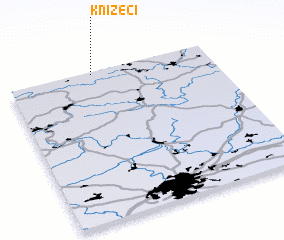 Places with similar names to Knížecí, Czech Republic ::
Disclaimer :: Information on this page comes without warranty of any kind |
||
|
Where is Knížecí? Elevation and coordinates ::
Latitude (lat): 50°59'0"N Longitude (lon): 14°25'0"E
Elevation (approx.): 474m (map arrows pan, magnifying glasses zoom) |
||
|
Visiting Knížecí? Hotel/Accommodation ::
Book a hotel in Knížecí Travel Guide ::
rental cars ::
car rental offers GPS waypoint ::
download a GPX waypoint (PoI) of Knížecí for your GPS receiver
|
||