|
search place name
|
||
Lány (Czech Republic)Lány is a town in Czech Republic. An overview map of the region around Lány is displayed below.
regional and 3d topo map of Lány, Czech Republic ::

Lány airports ::
The nearest airport is PED - Pardubice, located 7.1 km north of Lány.
Other airports nearby include PRG - Prague Ruzyne (106.9 km west), BRQ - Turany (112.8 km south east), PRV - Prerov (134.0 km south east), WRO - Wroclaw Strachowice (152.0 km north east), Nearby towns ::
Bylany (1.9km north) //
Třibřichy (1.9km north) //
Markovice (1.2km east) //
Rozhovice (2.2km north west) //
Skupice (2.2km south west) //
Stolany (2.2km south east) //
Skřivánka (2.4km east) //
Čepí (3.9km north) //
Dřenice (3.9km north) //
Morašice (3.0km south west) //
Sobětuchy (3.0km south east) //
Pouchobrady (3.0km south east) //
Janovice (4.4km south west) //
Holičky (4.4km south west) //
Medlešice (4.4km north east) //
Blato (4.4km north east) //
Rabštejnská Lhota (4.4km south east) //
Třebosice (5.6km north) //
Deblov (5.6km south) //
Čejkovice (5.6km south) //
Mýtka (5.6km south) //
Dubany (5.7km north) //
Mateřov (5.7km north) //
Pohled (5.7km south) //
Staré Jesenčany (5.7km north) //
Klešice (4.0km north west) //
Radlín (4.0km south west) //
Chotěnice (4.0km south west) //
Rabštejn (5.7km south) //
[all distances 'as the bird flies' and approximate] 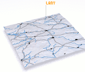 Places with similar names to Lány, Czech Republic ::
Disclaimer :: Information on this page comes without warranty of any kind |
||
|
Where is Lány? Elevation and coordinates ::
Latitude (lat): 49°57'0"N Longitude (lon): 15°44'0"E
Elevation (approx.): 266m (map arrows pan, magnifying glasses zoom) |
||
|
Visiting Lány? Hotel/Accommodation ::
Book a hotel in Lány Travel Guide ::
rental cars ::
car rental offers GPS waypoint ::
download a GPX waypoint (PoI) of Lány for your GPS receiver
|
||