|
search place name
|
||
Rozářín (Czech Republic)Rozářín is a town in Czech Republic. An overview map of the region around Rozářín is displayed below.
regional and 3d topo map of Rozářín, Czech Republic ::

Rozářín airports ::
The nearest airport is BRQ - Turany, located 11.6 km north of Rozářín.
Other airports nearby include PRV - Prerov (64.3 km north east), PZY - Piestany (93.2 km south east), BTS - Bratislava M R Stefanik (104.0 km south), VIE - Vienna Schwechat (105.2 km south), Nearby towns ::
Moutnice (0.0km north) //
Jalovisko (1.2km west) //
Nesvačilka (2.2km north east) //
Nový Dvŭr (3.7km south) //
Žatčany (3.7km north) //
Třebomyslice (3.7km north) //
Těšany (2.4km east) //
Měnín (3.9km north) //
Telnice (5.6km north) //
Křepice (5.7km south) //
Újezd (5.7km north) //
Šitbořice (5.2km south east) //
Rychmanov (6.1km north east) //
Sokolnice (7.4km north) //
Nikolčice (7.5km south) //
U Stříbrné Kule (6.6km north east) //
Otmarov (6.6km north west) //
Nosislav (6.1km south west) //
Diváky (8.3km south east) //
Hostěrádky-Rešov (8.3km north east) //
Velké Němčice (8.9km south west) //
Šaratice (8.9km north east) //
[all distances 'as the bird flies' and approximate] 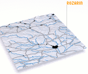 Places with similar names to Rozářín, Czech Republic ::
Disclaimer :: Information on this page comes without warranty of any kind |
||
|
Where is Rozářín? Elevation and coordinates ::
Latitude (lat): 49°3'0"N Longitude (lon): 16°44'0"E
Elevation (approx.): 191m (map arrows pan, magnifying glasses zoom) |
||
|
Visiting Rozářín? Hotel/Accommodation ::
Book a hotel in Rozářín Travel Guide ::
rental cars ::
car rental offers GPS waypoint ::
download a GPX waypoint (PoI) of Rozářín for your GPS receiver
|
||