|
search place name
|
||
Urbanice (Czech Republic)Urbanice is a town in Czech Republic. An overview map of the region around Urbanice is displayed below.
regional and 3d topo map of Urbanice, Czech Republic ::

Urbanice airports ::
The nearest airport is PED - Pardubice, located 13.4 km north east of Urbanice.
Other airports nearby include PRG - Prague Ruzyne (94.8 km west), BRQ - Turany (122.0 km south east), PRV - Prerov (145.6 km south east), BBJ - Bautzen (155.3 km north west), Nearby towns ::
Rašovy (1.2km east) //
Lipoltice (1.9km north) //
Bukovina (1.9km south) //
Poběžovice (2.2km north east) //
Holotín (2.2km south east) //
Nový Dvŭr (2.2km south west) //
Turkovice (2.2km south west) //
Ledec (2.4km east) //
Svojšice (2.4km east) //
Cihelna (2.4km east) //
Tupesy (3.7km north) //
Březinka (3.7km south) //
Sovolusky (2.4km west) //
Chrtníky (3.0km north east) //
Loděnice (3.9km north) //
Pelechov (3.9km north) //
Brloh (3.9km north) //
Hošťalovice (3.9km south) //
Sovoluská Lhota (3.0km north west) //
Bílý Kámen (3.9km south) //
Bumbalka (3.0km south west) //
Licomělice (4.4km south east) //
Seník (4.4km north west) //
Podhořany (4.4km south west) //
Stojice (3.6km east) //
Vápenka (3.6km west) //
Semtěš (3.6km west) //
Mokošín (5.6km north) //
Benešovice (5.6km north) //
[all distances 'as the bird flies' and approximate] 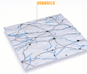 Places with similar names to Urbanice, Czech Republic ::
Disclaimer :: Information on this page comes without warranty of any kind |
||
|
Where is Urbanice? Elevation and coordinates ::
Latitude (lat): 49°58'0"N Longitude (lon): 15°34'0"E
Elevation (approx.): 332m (map arrows pan, magnifying glasses zoom) |
||
|
Visiting Urbanice? Hotel/Accommodation ::
Book a hotel in Urbanice Travel Guide ::
rental cars ::
car rental offers GPS waypoint ::
download a GPX waypoint (PoI) of Urbanice for your GPS receiver
|
||