|
search place name
|
||
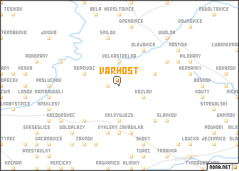
Varhošť (Czech Republic)Varhošť is a town in Czech Republic. An overview map of the region around Varhošť is displayed below.
regional and 3d topo map of Varhošť, Czech Republic ::
Varhošť airports ::
The nearest airport is PRV - Prerov, located 24.1 km south of Varhošť.
Other airports nearby include OSR - Ostrava Mosnov (44.7 km east), BRQ - Turany (79.3 km south west), PZY - Piestany (114.6 km south), PED - Pardubice (133.6 km west), Nearby towns ::
Jestřabí (1.2km west) //
Velká Střelná (3.7km north) //
Kozlov (3.0km south east) //
Velký Újezd (5.6km south) //
Nepřivaz (4.0km north west) //
Nová Ves nad Odrou (4.0km north east) //
Olejovice (6.1km north east) //
Staměřice (7.4km south) //
Zavadilka (7.5km south) //
Výkleky (7.5km south) //
Mokř (7.5km south) //
Smilov (7.5km north) //
Ranošov (6.6km south east) //
Daskabát (6.6km south west) //
Ascherwinkel (6.1km north east) //
Slavkov (7.3km south east) //
Doloplazy (8.8km south west) //
Údolná (8.8km north east) //
[all distances 'as the bird flies' and approximate]  Places with similar names to Varhošť, Czech Republic :: Disclaimer :: Information on this page comes without warranty of any kind |
||
|
Where is Varhošť? Elevation and coordinates ::
Latitude (lat): 49°38'0"N Longitude (lon): 17°30'0"E
Elevation (approx.): 647m (map arrows pan, magnifying glasses zoom) |
||
|
Visiting Varhošť? Hotel/Accommodation ::
Book a hotel in Varhošť Travel Guide ::
rental cars ::
car rental offers GPS waypoint ::
download a GPX waypoint (PoI) of Varhošť for your GPS receiver
|
||