|
search place name
|
||
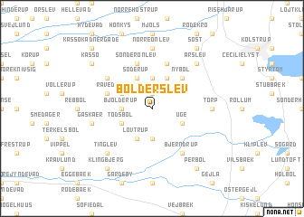
Bolderslev (Sønderjylland, Denmark)Bolderslev is a town in the Sønderjylland region of Denmark. An overview map of the region around Bolderslev is displayed below.
regional and 3d topo map of Bolderslev, Denmark ::
Bolderslev airports ::
The nearest airport is SKS - Skrydstrup, located 27.1 km north of Bolderslev.
Other airports nearby include SGD - Soenderborg Sonderborg (31.6 km east), GWT - Westerland Sylt (62.0 km west), EBJ - Esbjerg (76.8 km north west), BLL - Billund (84.8 km north), Nearby towns ::
Mellerup (1.9km north) //
Almstrup (3.7km south) //
Bjolderup (2.1km west) //
Alslev (3.7km north) //
Uge (2.8km south east) //
Todsbøl (2.8km south west) //
Lovtrup (3.9km south) //
Perbøl (2.8km north west) //
Hjordkær (3.9km north) //
Søderup (3.9km north) //
Nybøl (4.3km north east) //
Raved (3.7km north west) //
Hjordkær (5.7km north) //
Sønder Ønlev (5.7km north) //
Bjerndrup (6.0km south) //
Hjolderup (4.9km north west) //
Nørre Ønlev (7.4km north) //
Torp (4.3km east) //
Gåskær (4.6km south west) //
Tinglev (6.4km south west) //
Årslev (6.4km north east) //
Perbøl (8.1km south east) //
Klingbjerg (8.1km south west) //
Søst (8.1km north east) //
Rise (8.1km north east) //
Kassø (7.0km north west) //
Kassø Kådnergade (8.5km north west) //
[all distances 'as the bird flies' and approximate] 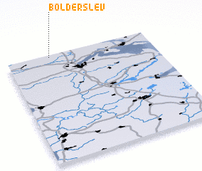 Places with similar names to Bolderslev, Denmark ::
// Baldersleigh (AU)
Disclaimer :: Information on this page comes without warranty of any kind |
||
|
Where is Bolderslev? Elevation and coordinates ::
Latitude (lat): 54°59'0"N Longitude (lon): 9°18'0"E
Elevation (approx.): 36m (map arrows pan, magnifying glasses zoom) |
||
|
Visiting Bolderslev? Hotel/Accommodation ::
Book a hotel in Bolderslev Travel Guide ::
Buy a travel guide for Denmark rental cars ::
car rental offers GPS waypoint ::
download a GPX waypoint (PoI) of Bolderslev for your GPS receiver
|
||