|
search place name
|
||
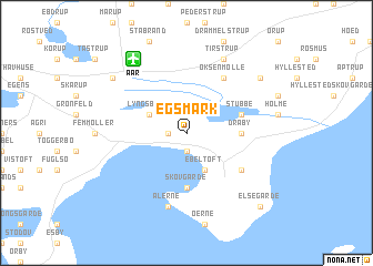
Egsmark (Århus, Denmark)Egsmark is a town in the Århus region of Denmark. An overview map of the region around Egsmark is displayed below.
regional and 3d topo map of Egsmark, Denmark ::
Egsmark airports ::
The nearest airport is AAR - Aarhus, located 8.0 km north of Egsmark.
Other airports nearby include ODE - Odense (86.8 km south), KRP - Karup (95.8 km west), AAL - Aalborg (108.0 km north west), BLL - Billund (109.3 km south west), Nearby towns ::
Egsmark Strand (1.9km south) //
Handrup (1.0km west) //
Ebeltoft (3.8km south) //
Lyngsbæk (2.8km north west) //
Skovgårde (5.6km south) //
Dråby (3.1km east) //
Stubbe (3.6km north east) //
Boeslum (4.8km south east) //
Øksenmølle (5.9km north) //
Ahl (7.5km south) //
Ålerne (7.5km south) //
Tirstrup (7.7km north) //
Fuglslev (6.9km north east) //
Feldballe (6.9km north west) //
Elsegårde (8.5km south east) //
[all distances 'as the bird flies' and approximate] 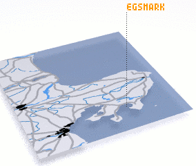 Places with similar names to Egsmark, Denmark :: Disclaimer :: Information on this page comes without warranty of any kind |
||
|
Where is Egsmark? Elevation and coordinates ::
Latitude (lat): 56°14'0"N Longitude (lon): 10°40'0"E
Elevation (approx.): 38m (map arrows pan, magnifying glasses zoom) |
||
|
Visiting Egsmark? Hotel/Accommodation ::
Book a hotel in Egsmark Travel Guide ::
Buy a travel guide for Denmark rental cars ::
car rental offers GPS waypoint ::
download a GPX waypoint (PoI) of Egsmark for your GPS receiver
|
||