|
search place name
|
||
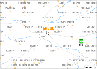
Gabøl (Sønderjylland, Denmark)Gabøl is a town in the Sønderjylland region of Denmark. An overview map of the region around Gabøl is displayed below.
regional and 3d topo map of Gabøl, Denmark ::
Gabøl airports ::
The nearest airport is SKS - Skrydstrup, located 7.7 km east of Gabøl.
Other airports nearby include EBJ - Esbjerg (48.7 km north west), SGD - Soenderborg Sonderborg (51.9 km south east), BLL - Billund (54.6 km north), GWT - Westerland Sylt (63.9 km south west), Nearby towns ::
Lille Nustrup (2.1km north east) //
Åbøl (2.1km south west) //
Skibelund (2.1km north west) //
Kolsnap (2.1km east) //
Ålkær (2.1km west) //
Brøndlund (2.1km west) //
Store Nustrup (2.8km north east) //
Tislund (5.6km south) //
Øster Lindet (5.6km north) //
Mojbøl (5.7km north) //
Hjartbro (5.9km south) //
Hyrup (7.5km south) //
Kastrup (4.6km north west) //
Ørderup (6.4km south west) //
Nustrup-Bæk (5.6km north east) //
Bevtoft (7.0km south east) //
Stursbøl (8.1km north east) //
Vester Lindet (8.5km north west) //
[all distances 'as the bird flies' and approximate] 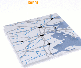 Places with similar names to Gabøl, Denmark ::
Disclaimer :: Information on this page comes without warranty of any kind |
||
|
Where is Gabøl? Elevation and coordinates ::
Latitude (lat): 55°15'0"N Longitude (lon): 9°9'0"E
Elevation (approx.): 43m (map arrows pan, magnifying glasses zoom) |
||
|
Visiting Gabøl? Hotel/Accommodation ::
Book a hotel in Gabøl Travel Guide ::
Buy a travel guide for Denmark rental cars ::
car rental offers GPS waypoint ::
download a GPX waypoint (PoI) of Gabøl for your GPS receiver
|
||