|
search place name
|
||
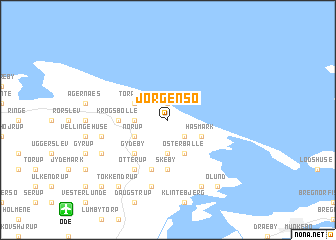
Jørgensø (Fyn, Denmark)Jørgensø is a town in the Fyn region of Denmark. An overview map of the region around Jørgensø is displayed below.
regional and 3d topo map of Jørgensø, Denmark ::
Jørgensø airports ::
The nearest airport is ODE - Odense, located 11.9 km south west of Jørgensø.
Other airports nearby include SGD - Soenderborg Sonderborg (78.5 km south west), AAR - Aarhus (82.5 km north), BLL - Billund (83.0 km west), SKS - Skrydstrup (83.3 km south west), Nearby towns ::
Kristiansminde (1.9km north) //
Vesterballe (2.1km south east) //
Bårdesø (2.1km west) //
Egense (3.7km south) //
Tørresø (2.8km north west) //
Norup (2.8km south west) //
Østerballe (3.9km south) //
Hasmark (2.8km south east) //
Gydeby (4.3km south west) //
Skeby (5.6km south) //
Krogsbølle (3.1km west) //
Gundstrup (3.1km west) //
Ørritslev (5.7km south) //
Hjorslev (5.7km south) //
Otterup (5.9km south) //
Vellinge (4.6km south west) //
Østrup (7.5km south) //
Brandsby (5.6km south west) //
Emmelev (5.6km south west) //
Hessum (7.7km south) //
Gerskov (7.7km south) //
Tokkendrup (8.1km south west) //
Ølund (8.1km south east) //
Fremmelev (8.5km south west) //
[all distances 'as the bird flies' and approximate] 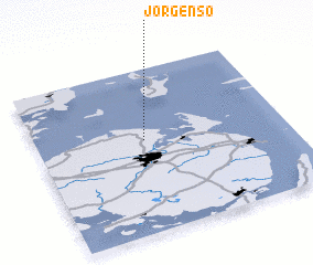
Disclaimer :: Information on this page comes without warranty of any kind |
||
|
Where is Jørgensø? Elevation and coordinates ::
Latitude (lat): 55°34'0"N Longitude (lon): 10°26'0"E
Elevation (approx.): 3m (map arrows pan, magnifying glasses zoom) |
||
|
Visiting Jørgensø? Hotel/Accommodation ::
Book a hotel in Jørgensø Travel Guide ::
Buy a travel guide for Denmark rental cars ::
car rental offers GPS waypoint ::
download a GPX waypoint (PoI) of Jørgensø for your GPS receiver
|
||