|
search place name
|
||
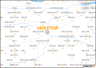
Kongstrup (Århus, Denmark)Kongstrup is a town in the Århus region of Denmark. An overview map of the region around Kongstrup is displayed below.
regional and 3d topo map of Kongstrup, Denmark ::
Kongstrup airports ::
The nearest airport is AAR - Aarhus, located 43.8 km east of Kongstrup.
Other airports nearby include KRP - Karup (49.4 km west), AAL - Aalborg (82.8 km north), BLL - Billund (82.9 km south west), ODE - Odense (100.6 km south), Nearby towns ::
Knudstrup (1.9km south) //
Granslev (1.9km south) //
Laurbjerg (2.1km north east) //
Houlbjerg (2.1km west) //
Langå (3.8km north) //
Vrangstrup (3.8km south) //
Bøstrup (4.2km south west) //
Skjød (5.7km south) //
Væth (5.9km north) //
Svejstrup (4.1km east) //
Favrskov Mark (4.5km south east) //
Kvolbæk (7.5km south) //
Grensten (7.5km north) //
Enslev (4.5km north west) //
Jebjerg (6.4km north east) //
Brundt (6.4km south east) //
Haurum (6.4km south west) //
Lyngå (5.5km south east) //
Dagsvad (7.7km north) //
Frisenvold (8.5km north east) //
[all distances 'as the bird flies' and approximate] 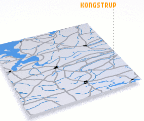 Places with similar names to Kongstrup, Denmark ::
Disclaimer :: Information on this page comes without warranty of any kind |
||
|
Where is Kongstrup? Elevation and coordinates ::
Latitude (lat): 56°21'0"N Longitude (lon): 9°55'0"E
Elevation (approx.): 9m (map arrows pan, magnifying glasses zoom) |
||
|
Visiting Kongstrup? Hotel/Accommodation ::
Book a hotel in Kongstrup Travel Guide ::
Buy a travel guide for Denmark rental cars ::
car rental offers GPS waypoint ::
download a GPX waypoint (PoI) of Kongstrup for your GPS receiver
|
||