|
search place name
|
||
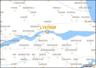
Lystrup (Århus, Denmark)Lystrup is a town in the Århus region of Denmark. An overview map of the region around Lystrup is displayed below.
regional and 3d topo map of Lystrup, Denmark ::
Lystrup airports ::
The nearest airport is AAL - Aalborg, located 47.4 km north west of Lystrup.
Other airports nearby include AAR - Aarhus (53.1 km south east), KRP - Karup (77.4 km south west), TED - Thisted (97.2 km north west), BLL - Billund (123.5 km south west), Nearby towns ::
Haderup (1.0km west) //
Ajstrup (2.1km south east) //
Visborg (3.7km north) //
Hadsund (2.8km north west) //
Sønder Hadsund (2.8km north west) //
Falslev (2.8km south west) //
Norup (2.8km south west) //
Nebstrup (3.8km south) //
Søndergårde (4.2km north west) //
Kastbjerg (5.7km south) //
Edderup (5.9km south) //
Østergårde (4.1km west) //
Øster Kondrup (7.4km south) //
Havndal (6.3km south east) //
Klattrup (5.5km south east) //
Skelund (8.0km north) //
Veddum (8.0km north) //
Korup (8.0km north) //
Udbyover (6.9km south east) //
[all distances 'as the bird flies' and approximate] 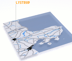 Places with similar names to Lystrup, Denmark ::
Disclaimer :: Information on this page comes without warranty of any kind |
||
|
Where is Lystrup? Elevation and coordinates ::
Latitude (lat): 56°42'0"N Longitude (lon): 10°9'0"E
Elevation (approx.): 39m (map arrows pan, magnifying glasses zoom) |
||
|
Visiting Lystrup? Hotel/Accommodation ::
Book a hotel in Lystrup Travel Guide ::
Buy a travel guide for Denmark rental cars ::
car rental offers GPS waypoint ::
download a GPX waypoint (PoI) of Lystrup for your GPS receiver
|
||