|
search place name
|
||
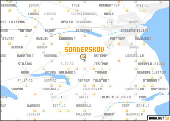
Sønderskov (Århus, Denmark)Sønderskov is a town in the Århus region of Denmark. An overview map of the region around Sønderskov is displayed below.
regional and 3d topo map of Sønderskov, Denmark ::
Sønderskov airports ::
The nearest airport is AAR - Aarhus, located 39.4 km north east of Sønderskov.
Other airports nearby include KRP - Karup (66.0 km west), ODE - Odense (68.9 km south), BLL - Billund (71.4 km south west), SKS - Skrydstrup (109.6 km south west), Nearby towns ::
Ingerslev (0.0km north) //
Ravnholt (1.9km south) //
Jegstrup (1.9km north) //
Hasselager (1.9km north) //
Battrup (2.1km south east) //
Tiset (2.1km south west) //
Børup (2.1km north west) //
Kattrup (2.1km north west) //
Østerby (2.1km east) //
Testrup (2.8km south east) //
Slet (2.8km north east) //
Tranbjerg (2.8km north east) //
Blegind (2.8km south west) //
Enslev (2.8km north west) //
Tander (4.2km south east) //
Solbjerg (4.2km south west) //
Kunnerup (4.2km north west) //
Stavtrup (5.6km north) //
Lemming (5.6km north) //
Astrup (5.6km south) //
Ask (5.7km south) //
Mårslet (3.6km south east) //
Bering (3.6km north west) //
Kolt (3.6km north west) //
Bjøstrup (3.6km north east) //
Gunnestrup (3.6km north east) //
Tulstrup (5.9km south) //
Viby (4.8km north east) //
Ballen (7.4km south) //
[all distances 'as the bird flies' and approximate] 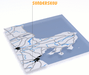 Places with similar names to Sønderskov, Denmark ::
// Sønderskov (DK)
// Sønderskov (DK)
Disclaimer :: Information on this page comes without warranty of any kind |
||
|
Where is Sønderskov? Elevation and coordinates ::
Latitude (lat): 56°5'0"N Longitude (lon): 10°7'0"E
Elevation (approx.): 62m (map arrows pan, magnifying glasses zoom) |
||
|
Visiting Sønderskov? Hotel/Accommodation ::
Book a hotel in Sønderskov Travel Guide ::
Buy a travel guide for Denmark rental cars ::
car rental offers GPS waypoint ::
download a GPX waypoint (PoI) of Sønderskov for your GPS receiver
|
||