|
search place name
|
||
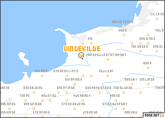
Vindekilde (Vestsjælland, Denmark)Vindekilde is a town in the Vestsjælland region of Denmark. An overview map of the region around Vindekilde is displayed below.
regional and 3d topo map of Vindekilde, Denmark ::
nearby GPS traces from timatio ::
Vindekilde airports ::
The nearest airport is RKE - Copenhagen Roskilde, located 50.1 km south east of Vindekilde.
Other airports nearby include AAR - Aarhus (76.0 km north west), ODE - Odense (76.4 km south west), CPH - Copenhagen Kastrup (80.1 km east), JLD - Landskrona (92.7 km east), Nearby towns ::
Stubberup (2.1km north east) //
Bjergesø (3.7km south) //
Kårup (3.7km north) //
Ordrup (3.7km north) //
Vallekilde (3.9km south) //
Fårevejle (2.8km north east) //
Ny Fårevejle (2.8km north east) //
Ris (3.9km north) //
Starreklinte (4.3km south west) //
Fårevejle Stationsby (3.1km east) //
Skippinge (5.7km south) //
Vejleby (4.8km south east) //
Hørve (4.8km south east) //
Gudmandstrup (7.7km south) //
Særslev (7.7km south) //
Snertinge (7.7km south) //
Svinninge (8.0km south east) //
Føllenslev (8.0km south west) //
[all distances 'as the bird flies' and approximate] 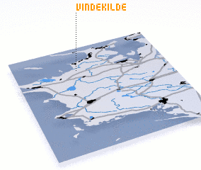 Places with similar names to Vindekilde, Denmark ::
// Vèndou Guéladio (SN)
Disclaimer :: Information on this page comes without warranty of any kind |
||
|
Where is Vindekilde? Elevation and coordinates ::
Latitude (lat): 55°47'0"N Longitude (lon): 11°25'0"E
Elevation (approx.): 3m (map arrows pan, magnifying glasses zoom) |
||
|
Visiting Vindekilde? Hotel/Accommodation ::
Book a hotel in Vindekilde Travel Guide ::
Buy a travel guide for Denmark rental cars ::
car rental offers GPS waypoint ::
download a GPX waypoint (PoI) of Vindekilde for your GPS receiver
|
||