|
search place name
|
||
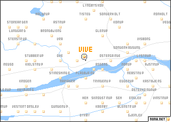
Vive (Nordjylland, Denmark)Vive is a town in the Nordjylland region of Denmark. An overview map of the region around Vive is displayed below.
regional and 3d topo map of Vive, Denmark ::
Vive airports ::
The nearest airport is AAL - Aalborg, located 45.2 km north of Vive.
Other airports nearby include AAR - Aarhus (57.3 km south east), KRP - Karup (71.7 km south west), TED - Thisted (90.8 km north west), BLL - Billund (120.0 km south west), Nearby towns ::
Barsbøl (1.0km west) //
Cimbria (2.1km south east) //
Fladbjerg (3.7km south) //
Grevelund (2.8km north west) //
Assens (2.8km south east) //
Østergårde (3.1km east) //
Ove (3.1km west) //
Alstrup (5.7km south) //
Hou (5.7km south) //
Vrå (4.8km north west) //
Stinesminde (4.8km south west) //
Mariager (5.9km south) //
Glerup (5.9km north) //
Trinderup (5.9km south) //
Hovtved (4.5km south west) //
Brøndbjerg (6.9km north west) //
Astrup (8.0km north) //
Korup (8.5km north east) //
[all distances 'as the bird flies' and approximate] 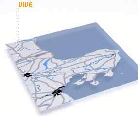 Places with similar names to Vive, Denmark ::
Disclaimer :: Information on this page comes without warranty of any kind |
||
|
Where is Vive? Elevation and coordinates ::
Latitude (lat): 56°42'0"N Longitude (lon): 10°2'0"E
Elevation (approx.): 10m (map arrows pan, magnifying glasses zoom) |
||
|
Visiting Vive? Hotel/Accommodation ::
Book a hotel in Vive Travel Guide ::
Buy a travel guide for Denmark rental cars ::
car rental offers GPS waypoint ::
download a GPX waypoint (PoI) of Vive for your GPS receiver
|
||