|
search place name
|
||
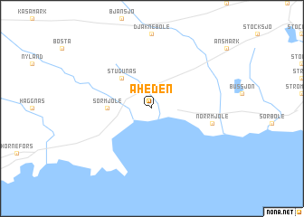
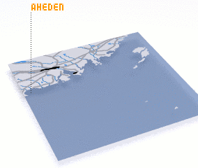
Åheden (Västerbotten, Sweden)Åheden is a town in the Västerbotten region of Sweden. An overview map of the region around Åheden is displayed below.
regional and 3d topo map of Åheden, Sweden ::
Åheden airports ::
The nearest airport is UME - Umea, located 16.7 km north east of Åheden.
Other airports nearby include OER - Ornskoldsvik (61.0 km south west), VAA - Vaasa (111.0 km south east), SFT - Skelleftea (116.2 km north east), LYC - Lycksele (116.3 km north west), Nearby towns ::
Disclaimer :: Information on this page comes without warranty of any kind |
||
|
Where is Åheden? Elevation and coordinates ::
Latitude (lat): 63°41'0"N Longitude (lon): 20°3'0"E
(map arrows pan, magnifying glasses zoom) |
||
|
Visiting Åheden? Hotel/Accommodation ::
Book a hotel in Åheden Travel Guide ::
Buy a travel guide for Sweden rental cars ::
car rental offers GPS waypoint ::
download a GPX waypoint (PoI) of Åheden for your GPS receiver
|
||