|
search place name
|
||
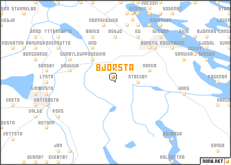
Björsta (Uppsala, Sweden)Björsta is a town in the Uppsala region of Sweden. An overview map of the region around Björsta is displayed below.
regional and 3d topo map of Björsta, Sweden ::
Björsta airports ::
The nearest airport is ARN - Stockholm Arlanda, located 64.7 km south of Björsta.
Other airports nearby include GVX - Gavle (86.3 km north west), MHQ - Mariehamn (89.2 km east), BMA - Stockholm Bromma (96.3 km south), VST - Vasteras (115.4 km south west), Nearby towns ::
Stockby (1.8km east) //
Uppskedika (4.1km north west) //
Marka (3.3km north east) //
Ånö (5.9km north) //
Assjö (7.4km north) //
Väddika (4.1km north west) //
Gammelbyn (6.2km north east) //
Börstil (6.2km north east) //
Gunbyle (5.2km north west) //
Ed (7.6km north) //
Barkö (7.6km north) //
Erikslund (6.4km north east) //
Sveden (8.3km north east) //
Östhammar (8.3km north east) //
[all distances 'as the bird flies' and approximate] 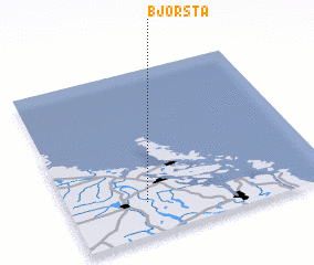 Places with similar names to Björsta, Sweden ::
// Bujor-Sat (RO)
// Boger City (US)
// Budgeree East (AU)
// Björsta (SE)
// Björsta (SE)
// Bjursta (SE)
Disclaimer :: Information on this page comes without warranty of any kind |
||
|
Where is Björsta? Elevation and coordinates ::
Latitude (lat): 60°12'0"N Longitude (lon): 18°18'0"E
(map arrows pan, magnifying glasses zoom) |
||
|
Visiting Björsta? Hotel/Accommodation ::
Book a hotel in Björsta Travel Guide ::
Buy a travel guide for Sweden rental cars ::
car rental offers GPS waypoint ::
download a GPX waypoint (PoI) of Björsta for your GPS receiver
|
||