|
search place name
|
||
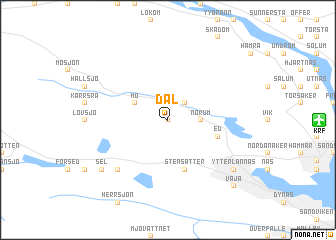
Dal (Västernorrland, Sweden)Dal is a town in the Västernorrland region of Sweden. An overview map of the region around Dal is displayed below.
regional and 3d topo map of Dal, Sweden ::
Dal airports ::
The nearest airport is KRF - Kramfors Solleftea, located 7.7 km east of Dal.
Other airports nearby include SDL - Sundsvall Harnosand (58.8 km south), OER - Ornskoldsvik (79.8 km north east), HUV - Hudiksvall (145.5 km south), VHM - Vilhelmina (174.8 km north), Nearby towns ::
Ärsta (0.0km north) //
Ålsta (2.0km north east) //
Norum (1.7km east) //
Flögsäter (2.5km north west) //
Mo (2.5km north west) //
Stensätter (5.6km south) //
Ed (3.1km south east) //
Bursjö (6.1km south west) //
Ytterlännäs (6.5km south east) //
Sunnanåker (6.5km south east) //
Bollstabruk (6.5km south east) //
Sel (6.5km south west) //
Väja (8.1km south east) //
[all distances 'as the bird flies' and approximate] 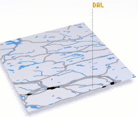 Places with similar names to Dal, Sweden ::
Disclaimer :: Information on this page comes without warranty of any kind |
||
|
Where is Dal? Elevation and coordinates ::
Latitude (lat): 63°3'0"N Longitude (lon): 17°37'0"E
(map arrows pan, magnifying glasses zoom) |
||
|
Visiting Dal? Hotel/Accommodation ::
Book a hotel in Dal Travel Guide ::
Buy a travel guide for Sweden rental cars ::
car rental offers GPS waypoint ::
download a GPX waypoint (PoI) of Dal for your GPS receiver
|
||