|
search place name
|
||
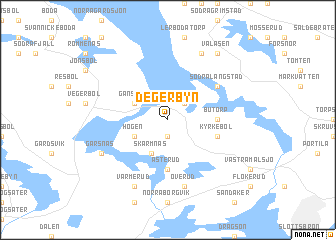
Degerbyn (Värmland, Sweden)Degerbyn is a town in the Värmland region of Sweden. An overview map of the region around Degerbyn is displayed below.
regional and 3d topo map of Degerbyn, Sweden ::
Degerbyn airports ::
The nearest airport is KSK - Karlskoga, located 87.6 km east of Degerbyn.
Other airports nearby include LDK - Lidkoping (110.3 km south), KVB - Skovde (124.9 km south east), THN - Trollhattan Vanersborg (131.1 km south), OSL - Oslo Gardermoen (133.5 km north west), Nearby towns ::
Krokserud (1.9km south) //
Bråten (2.1km north east) //
Skärmnäs (3.8km south) //
Högen (2.6km south west) //
Grinsbol (2.6km south west) //
Gansbyn (2.7km north west) //
Butorp (2.8km east) //
Åsterud (5.6km south) //
Kyrkebol (3.4km south east) //
Södra Långstad (4.7km north east) //
Norra Långstad (4.7km north east) //
Överud (7.5km south) //
Långstadskogen (7.6km north) //
Gärsnäs (5.3km south west) //
Värmerud (7.6km south) //
Vålåsen (7.9km north) //
[all distances 'as the bird flies' and approximate] 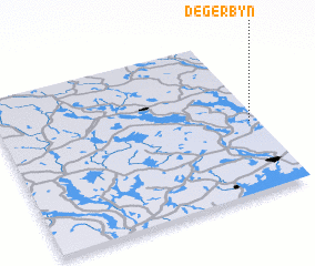
Disclaimer :: Information on this page comes without warranty of any kind |
||
|
Where is Degerbyn? Elevation and coordinates ::
Latitude (lat): 59°27'0"N Longitude (lon): 12°58'0"E
Elevation (approx.): 83m (map arrows pan, magnifying glasses zoom) |
||
|
Visiting Degerbyn? Hotel/Accommodation ::
Book a hotel in Degerbyn Travel Guide ::
Buy a travel guide for Sweden rental cars ::
car rental offers GPS waypoint ::
download a GPX waypoint (PoI) of Degerbyn for your GPS receiver
|
||