|
search place name
|
||
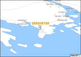
Garskatan (Norrbotten, Sweden)Garskatan is a town in the Norrbotten region of Sweden. An overview map of the region around Garskatan is displayed below.
regional and 3d topo map of Garskatan, Sweden ::
Garskatan airports ::
The nearest airport is LLA - Lulea Kallax, located 49.8 km south west of Garskatan.
Other airports nearby include KEM - Kemi Tornio (69.2 km east), KTT - Kittila (231.8 km north), Nearby towns ::
Storön (1.0km south) //
Bodskatan (1.5km north west) //
Östanfjärden (3.4km north west) //
Hästholmen (3.5km west) //
Utannäset (4.4km north west) //
Innanlandet (7.0km north) //
Målsön (5.8km north east) //
[all distances 'as the bird flies' and approximate] 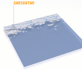 Places with similar names to Garskatan, Sweden ::
// Groß Chüden (DE)
Disclaimer :: Information on this page comes without warranty of any kind |
||
|
Where is Garskatan? Elevation and coordinates ::
Latitude (lat): 65°44'30"N Longitude (lon): 23°5'30"E
(map arrows pan, magnifying glasses zoom) |
||
|
Visiting Garskatan? Hotel/Accommodation ::
Book a hotel in Garskatan Travel Guide ::
Buy a travel guide for Sweden rental cars ::
car rental offers GPS waypoint ::
download a GPX waypoint (PoI) of Garskatan for your GPS receiver
|
||