|
search place name
|
||
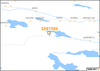
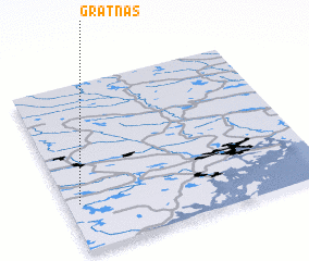
Grätnäs (Västernorrland, Sweden)Grätnäs is a town in the Västernorrland region of Sweden. An overview map of the region around Grätnäs is displayed below.
regional and 3d topo map of Grätnäs, Sweden ::
Grätnäs airports ::
The nearest airport is KRF - Kramfors Solleftea, located 29.8 km south west of Grätnäs.
Other airports nearby include OER - Ornskoldsvik (49.1 km east), SDL - Sundsvall Harnosand (89.6 km south), LYC - Lycksele (144.8 km north), VHM - Vilhelmina (156.3 km north), Nearby towns ::
 Places with similar names to Grätnäs, Sweden ::
// Krottensee (DE)
// Cardenosa (IT)
// Gardnos (NO)
// Gråtånes (NO)
// Kirdonys (LT)
// Kretuonys (LT)
// Cárdenas (CU)
// Crtanice (BA)
// Gradnići (BA)
// Gărdăneasa (RO)
Disclaimer :: Information on this page comes without warranty of any kind |
||
|
Where is Grätnäs? Elevation and coordinates ::
Latitude (lat): 63°17'0"N Longitude (lon): 18°3'0"E
(map arrows pan, magnifying glasses zoom) |
||
|
Visiting Grätnäs? Hotel/Accommodation ::
Book a hotel in Grätnäs Travel Guide ::
Buy a travel guide for Sweden rental cars ::
car rental offers GPS waypoint ::
download a GPX waypoint (PoI) of Grätnäs for your GPS receiver
|
||