|
search place name
|
||
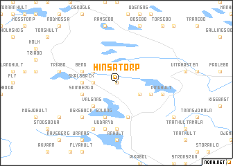
Hinsatorp (Kalmar, Sweden)Hinsatorp is a town in the Kalmar region of Sweden. An overview map of the region around Hinsatorp is displayed below.
regional and 3d topo map of Hinsatorp, Sweden ::
Hinsatorp airports ::
The nearest airport is HLF - Hultsfred, located 37.8 km north of Hinsatorp.
Other airports nearby include OSK - Oskarshamn (53.8 km east), VXO - Vaxjo Kronoberg (63.5 km south west), KLR - Kalkmar Kalmar (69.2 km south east), RNB - Ronneby (106.6 km south), Nearby towns ::
Gutebo (0.0km north) //
Änga (2.0km west) //
Horna (2.0km west) //
Axebo (2.7km north west) //
Göshult (2.7km south east) //
Välsnäs (4.2km south west) //
Skälsbäck (3.0km west) //
Berg (3.5km north west) //
Fögeberg (3.5km south east) //
Kåremåla (3.5km south east) //
Skinberga (3.5km south west) //
Fagerhult (5.6km south) //
Soläng (5.6km south) //
Näshult (7.4km south) //
Ringhult (4.4km south east) //
Uddaryd (7.5km south) //
Äskebäck (6.3km south west) //
Övraholm (7.7km south) //
[all distances 'as the bird flies' and approximate] 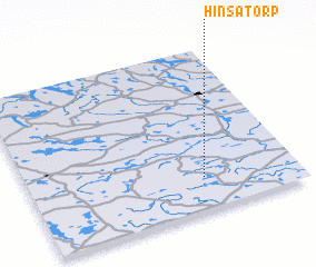 Places with similar names to Hinsatorp, Sweden ::
Disclaimer :: Information on this page comes without warranty of any kind |
||
|
Where is Hinsatorp? Elevation and coordinates ::
Latitude (lat): 57°12'0"N Longitude (lon): 15°39'0"E
Elevation (approx.): 171m (map arrows pan, magnifying glasses zoom) |
||
|
Visiting Hinsatorp? Hotel/Accommodation ::
Book a hotel in Hinsatorp Travel Guide ::
Buy a travel guide for Sweden rental cars ::
car rental offers GPS waypoint ::
download a GPX waypoint (PoI) of Hinsatorp for your GPS receiver
|
||