|
search place name
|
||
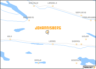
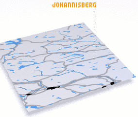
Johannisberg (Jämtland, Sweden)Johannisberg is a town in the Jämtland region of Sweden. An overview map of the region around Johannisberg is displayed below.
regional and 3d topo map of Johannisberg, Sweden ::
Johannisberg airports ::
The nearest airport is KRF - Kramfors Solleftea, located 41.1 km south of Johannisberg.
Other airports nearby include OER - Ornskoldsvik (59.5 km east), SDL - Sundsvall Harnosand (100.7 km south), LYC - Lycksele (133.9 km north), VHM - Vilhelmina (137.9 km north), Nearby towns ::
 Places with similar names to Johannisberg, Sweden ::
// Johannesberg (AT)
// Johannesburg (US)
// Johannesberg (DE)
// Johannisberg (DE)
// Johannisberg (DE)
// Johannisberg (DE)
// Johannisberg (DE)
// Johannisberg (DE)
// Johannisberg (DE)
// Johannisburg (US)
Disclaimer :: Information on this page comes without warranty of any kind |
||
|
Where is Johannisberg? Elevation and coordinates ::
Latitude (lat): 63°25'0"N Longitude (lon): 17°48'0"E
(map arrows pan, magnifying glasses zoom) |
||
|
Visiting Johannisberg? Hotel/Accommodation ::
Book a hotel in Johannisberg Travel Guide ::
Buy a travel guide for Sweden rental cars ::
car rental offers GPS waypoint ::
download a GPX waypoint (PoI) of Johannisberg for your GPS receiver
|
||