|
search place name
|
||
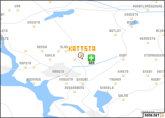
Kättsta (Stockholm, Sweden)Kättsta is a town in the Stockholm region of Sweden. An overview map of the region around Kättsta is displayed below.
regional and 3d topo map of Kättsta, Sweden ::
nearby GPS traces from timatio ::
Kättsta airports ::
The nearest airport is ARN - Stockholm Arlanda, located 1.1 km east of Kättsta.
Other airports nearby include BMA - Stockholm Bromma (33.0 km south), VST - Vasteras (71.8 km west), NYO - Stockholm Skavsta (111.3 km south west), GVX - Gavle (117.6 km north west), Nearby towns ::
Älgesta (0.9km west) //
Slåsta (2.6km north west) //
Brista (4.2km south west) //
Åshusby (5.6km south) //
Skogby (5.6km south) //
Skörsta (3.4km north west) //
Odensala (3.4km north west) //
Märsta (4.7km south west) //
Krogsta (5.9km south) //
Kumla (3.7km west) //
Rosersberg (7.5km south) //
Skånela (7.9km south) //
Tadhem (6.7km south east) //
Botlöt (6.7km north east) //
Åsby (6.7km north east) //
[all distances 'as the bird flies' and approximate] 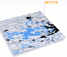 Places with similar names to Kättsta, Sweden ::
// Gate City (US)
// Catecito (PA)
// Catecito (PA)
// Catecito (PA)
// Codisotto (IT)
// Kūt as Sayyid (IQ)
// Codeceda (PT)
// Godziętowy (PL)
// Kidaste (EE)
// Kodeste (EE)
Disclaimer :: Information on this page comes without warranty of any kind |
||
|
Where is Kättsta? Elevation and coordinates ::
Latitude (lat): 59°39'0"N Longitude (lon): 17°54'0"E
Elevation (approx.): 24m (map arrows pan, magnifying glasses zoom) |
||
|
Visiting Kättsta? Hotel/Accommodation ::
Book a hotel in Kättsta Travel Guide ::
Buy a travel guide for Sweden rental cars ::
car rental offers GPS waypoint ::
download a GPX waypoint (PoI) of Kättsta for your GPS receiver
|
||