|
search place name
|
||
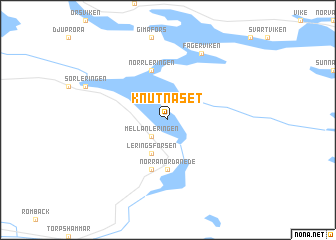
Knutnäset (Västernorrland, Sweden)Knutnäset is a town in the Västernorrland region of Sweden. An overview map of the region around Knutnäset is displayed below.
regional and 3d topo map of Knutnäset, Sweden ::
Knutnäset airports ::
The nearest airport is SDL - Sundsvall Harnosand, located 52.6 km east of Knutnäset.
Other airports nearby include KRF - Kramfors Solleftea (84.5 km north east), HUV - Hudiksvall (98.7 km south), OSD - Ostersund Froson (118.4 km north west), MXX - Mora (209.2 km south west), Nearby towns ::
Mellanleringen (2.0km south west) //
Leringsforsen (3.8km south) //
Norra Nordanede (5.6km south) //
Norrleringen (5.6km north) //
Nordanede (5.6km south) //
Fagerviken (7.6km north) //
[all distances 'as the bird flies' and approximate] 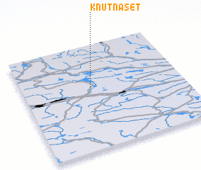
Disclaimer :: Information on this page comes without warranty of any kind |
||
|
Where is Knutnäset? Elevation and coordinates ::
Latitude (lat): 62°36'0"N Longitude (lon): 16°26'0"E
(map arrows pan, magnifying glasses zoom) |
||
|
Visiting Knutnäset? Hotel/Accommodation ::
Book a hotel in Knutnäset Travel Guide ::
Buy a travel guide for Sweden rental cars ::
car rental offers GPS waypoint ::
download a GPX waypoint (PoI) of Knutnäset for your GPS receiver
|
||