|
search place name
|
||
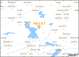
Kullilt (Halland, Sweden)Kullilt is a town in the Halland region of Sweden. An overview map of the region around Kullilt is displayed below.
regional and 3d topo map of Kullilt, Sweden ::
Kullilt airports ::
The nearest airport is GOT - Gothenborg Landvetter, located 46.2 km south west of Kullilt.
Other airports nearby include THN - Trollhattan Vanersborg (57.5 km north west), GSE - Gothenborg Save (63.7 km west), LDK - Lidkoping (64.8 km north), JKG - Joenkoeping Jonkoping (70.3 km east), Nearby towns ::
Tämta (1.0km west) //
Dövedal (2.1km south east) //
Vänga (5.6km south) //
Vängtorp (5.6km south) //
Äspenäs (3.5km north west) //
Lindsås (4.4km south east) //
Ornunga (7.5km north) //
Mjöshult (6.3km south west) //
Vralen (8.0km south) //
Arta (8.4km south east) //
[all distances 'as the bird flies' and approximate] 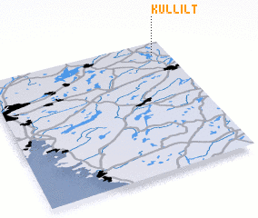 Places with similar names to Kullilt, Sweden ::
// Calolot (PH)
// Calulud (PH)
// Calulut (PH)
// Collalto (IT)
// Colle Alto (IT)
// Calea Lată (RO)
// Kalealtı (TR)
// Kalealtı (TR)
// Quilelto (CL)
// Kolelet (ID)
Disclaimer :: Information on this page comes without warranty of any kind |
||
|
Where is Kullilt? Elevation and coordinates ::
Latitude (lat): 57°54'0"N Longitude (lon): 12°55'0"E
Elevation (approx.): 188m (map arrows pan, magnifying glasses zoom) |
||
|
Visiting Kullilt? Hotel/Accommodation ::
Book a hotel in Kullilt Travel Guide ::
Buy a travel guide for Sweden rental cars ::
car rental offers GPS waypoint ::
download a GPX waypoint (PoI) of Kullilt for your GPS receiver
|
||